UN calls for more accurate world maps that don't shrink Africa
The UN General Assembly has adopted a resolution urging wider use of maps that more accurately represent the true size of continents, especially Africa. The commonly used Mercator projection distorts territory sizes, making regions far from the equator appear much larger than they are.
On September 4, the UN General Assembly adopted a resolution encouraging governments, international organizations, educational institutions and technology companies to use so-called equal-area map projections whenever accurate comparison of territory sizes matters. The resolution passed with 164 votes in favor, one against — the United States — and six abstentions, including Lithuania, Estonia and Ukraine.
Why the familiar map is misleading
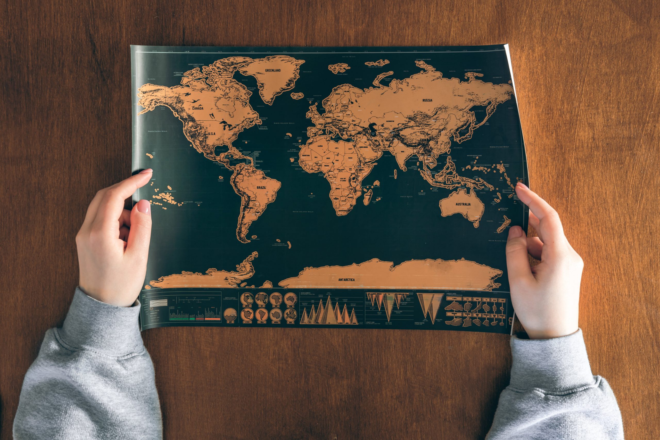
Most widely used world maps are based on the projection created in 1569 by Flemish cartographer Gerardus Mercator. It was historically valuable for sea navigation because it preserved directions and angles, but this comes at a cost: territory sizes become significantly distorted, with the distortion growing the farther a region is from the equator. As a result, Greenland can appear on the map almost as large as Africa, even though Africa's actual area is roughly 14 times greater. Canada and Russia are similarly shown larger than they truly are, while Africa and other regions closer to the equator appear visually smaller than reality.
A different projection, a different priority
The resolution recommends using the "Equal Earth" projection, designed to represent the relative land area of continents far more accurately. Like any flat map, it involves trade-offs in other respects, since a round Earth cannot be depicted on a flat surface without some distortion. The initiative was submitted on behalf of the group of African states by Togo, which stressed that the goal is not directed against any particular country or cartographic tradition, but against a distorted perception of the continent's true scale that has persisted for decades.
The resolution is not legally binding, so the Mercator projection will not disappear and will remain in practical use, including navigation. However, maps used in schools, media and digital platforms may increasingly look different from the ones generations have grown accustomed to since their school years.