Supercell storms with giant hail and strong winds forecast for eastern Australia
Dangerous supercell thunderstorms with giant hail and destructive winds are forecast for New South Wales in Australia on Sunday. On Saturday, a young man was struck by lightning at Ettalong beach.
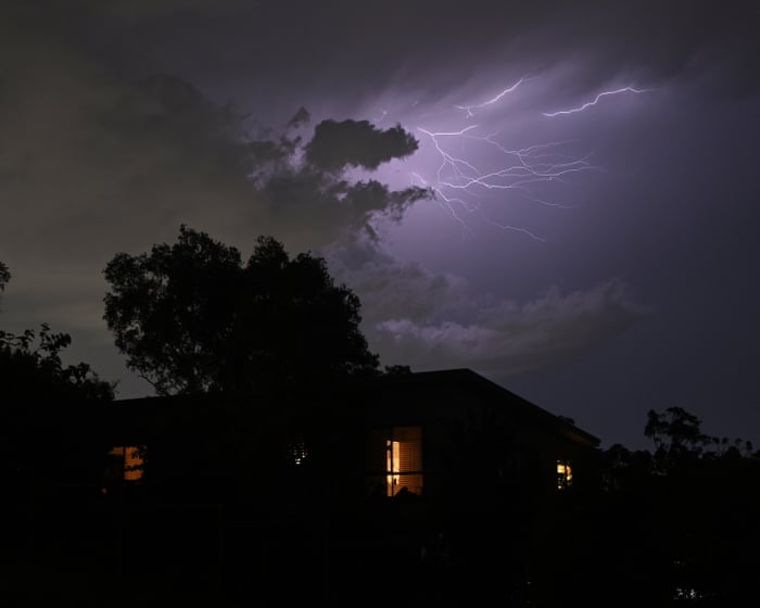
Volatile weather is continuing along Australia's east coast, with dangerous supercell thunderstorms, giant hail and destructive winds forecast on Sunday, 15 November, for parts of New South Wales (NSW), the country's most populous state. The warning comes from the Bureau of Meteorology (BoM), Australia's national weather agency.
Lightning strike at the beach
On Saturday afternoon, a man in his 20s was struck by lightning while swimming at Ettalong beach on the NSW Central Coast. Other swimmers pulled him from the water, and first responders performed CPR until NSW Ambulance paramedics arrived. He was taken to Gosford hospital in a serious condition and later transferred to Royal North Shore hospital. A hospital spokesperson said on Sunday morning that he was in a critical but stable condition.
Witnesses said storm activity was visible in the distance, but the area around the beach was clear and sunny, and the bolt seemed to come "out of nowhere". Lightning can strike up to 30 km from the centre of a storm cell.
Forecast for Sunday and Monday
Sarah Scully, a senior meteorologist at the BoM, said Sunday was expected to be "another big storm day". Very dangerous thunderstorms are likely in north-eastern NSW, with hail larger than 5cm in diameter and winds above 120km/h. They are being driven by a southerly change pushing up the coast.
A wider area, stretching to inland parts of the ranges east of Sydney and into south-east and central Queensland, could see storms with 2cm hail, gusts above 90km/h, heavy rain and flash flooding. Sydney is expected to have less severe storms, with a top of 23C, while Brisbane faces showers and thunderstorms and a high of 31C.
On Monday, the highest-risk storms are expected to shift to the NSW northern rivers and south-east Queensland, including Brisbane, the Gold Coast and the Sunshine Coast. On Saturday, winds of up to 98km/h were recorded in Goulburn, and 30mm to 50mm of rain fell around Coffs Harbour.