How Google Maps knows when a business is packed
Google Maps can show in real time how busy a restaurant, shop, or entire area is, drawing on anonymous data from users who have opted into Google Maps Timeline.
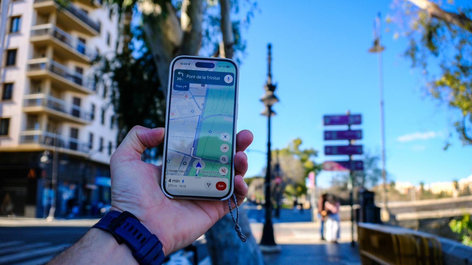
Beyond turn-by-turn directions, Google Maps offers information about nearby businesses, including ratings, hours, distance and recommendations on popular dishes or services. One of its more useful features shows how busy a specific place currently is and how long visitors are likely to wait.
How busyness is calculated
For venues such as restaurants, hotels, shops and coffee shops, Google relies on aggregated anonymous data from users who have opted into the Maps Timeline feature. By tracking the density of devices at a location, Google estimates how many people are present compared with typical traffic. Using historical data, it works out popular times, usual wait times and average visit durations, refreshing these estimates based on visitor patterns from the past few weeks. Visit duration is useful for planning stops like museum visits, while wait times help travelers judge whether a restaurant will fit into a tight schedule.
Tracking busy areas
Google also calculates busyness for entire areas, which is helpful when planning around outdoor events. Tapping the "Busy area" label brings up a chart showing peak times along with a directory of nearby businesses. This is compiled by combining data from various locations in the area, such as shops, restaurants and parks, though it excludes private residences. The feature is generally limited to high-traffic zones, like tourist towns or festival sites, since Google needs sufficient visitor data before it can display the information.
Google states that this data is always kept private and never reveals individual identities or exact visitor counts — Maps only indicates whether a place is busy or not. Users who prefer not to contribute to this data collection can turn off Google Timeline.