Ordnance Survey marks 225 years of maps, and The Guardian argues paper still beats satnav
Ordnance Survey, Britain's national mapping agency, this week marked 225 years since its first map was published. A Guardian editorial argues that paper maps retain a charm that satnav and Google Maps cannot match.
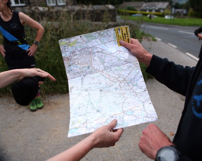
Ordnance Survey (OS), Britain's national mapping agency, this week marked the 225th anniversary of the first publication of its maps. The Guardian devoted an editorial to the occasion, arguing that traditional maps remain a superior way to navigate the landscape.
The first OS map, covering the county of Kent, appeared in 1801. It took ten years to produce and was led by the military, driven by fears of a Napoleonic invasion. As historian Rachel Hewitt notes in Map of a Nation, her account of the agency's early years, its origins also lay in an Enlightenment enthusiasm for understanding and accurately representing reality. Over the 19th century the whole of the British Isles was painstakingly surveyed in fog, rain, wind and sun, with surveyors working with theodolites, measuring chains and notebooks.
Today that legacy is updated using satellites, GPS and digital technologies. The editorial says OS maps have also shaped wider culture. In the 20th century, as people gained more leisure time, the commercial potential of smaller-scale maps for tourists and ramblers was recognised. Sales rose once covers began to show motorcars on country lanes and walkers plotting routes.
The piece also acknowledges a darker side to mapmaking: the question of who gets to define borders and names. It cites Brian Friel's play Translations, in which two British surveyors in Ireland impose a new naming order on the local landscape.
Still, compared with the flat voice commands of satnav and Google Maps, the editorial argues, maps are also a form of evocative art that invites people to explore and sparks the imagination. It concedes that a map sticking out of a rucksack or spread across a car seat is a less common sight than before, but hopes future generations will keep enjoying the experience of wrestling with an OS Landranger map on a windy hillside, just as younger consumers are rediscovering vinyl records.