Rainy, raw weather expected in Latvia during national holiday week
Forecasters at the Latvian Environment, Geology and Meteorology Centre say cyclones from the west will shape next week's weather in Latvia, bringing rain and in places sleet. Temperatures will stay roughly between -1 and +7 degrees Celsius.
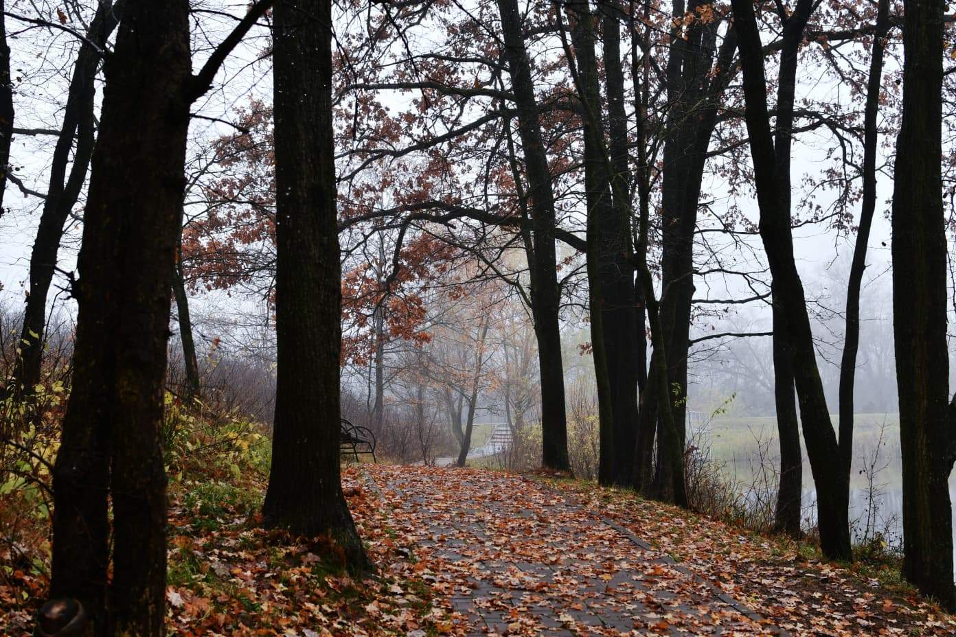
Next week, which includes the celebration of Latvia's Proclamation Day on 18 November, the country's weather will be determined by several active cyclones moving in from the west. According to forecasters at the Latvian Environment, Geology and Meteorology Centre, skies will often be cloudy, and several precipitation zones will cross the country, bringing rain and, in places, sleet.
Minimum night-time temperatures will range from -1 to +4 degrees Celsius, while daytime highs will reach +2 to +7 degrees. The coast will be about a degree warmer in places.
Monday
Overnight, most of the country will be partly cloudy and dry, although western areas will see thicker cloud and possibly light rain later in the night. From the afternoon, skies will gradually cloud over nationwide, and a precipitation zone will begin moving in from the west: rain is expected in western and central areas. Winds will be light to moderate from the south and southeast, with coastal gusts up to 15 metres per second. Night temperatures will fall to -1…+3 degrees, with daytime highs of +2…+6.
Tuesday and Wednesday
On Proclamation Day, 18 November, cloudy weather will continue, with the sun breaking through only occasionally. Rain is forecast for most of the country; on Tuesday evening it will fall locally in the east, while on Wednesday precipitation, both rain and sleet, will reach the remaining regions too. Forecasters warn that roads will be slippery in some stretches, and fog will form in places on Tuesday evening and overnight into Wednesday. Winds will initially be from the south, turning easterly on Wednesday, and remaining gusty on the coast.
Later in the week
Skies will mostly stay cloudy, with precipitation over a wide area, mainly rain, but in places sleet and snow. As colder air flows in, nights will become cooler: in many central and eastern areas minimum temperatures will be 0…-2 degrees, while in the west and along the coast the temperature will stay above zero even at night. Winds will be light midweek, but over the weekend will turn westerly and southwesterly and become gusty again on the coast.


