New deep-sea drones could map nearly all the world's oceans by 2028
French ocean agency Ifremer has developed prototype floats capable of diving to 6,000 meters, and by 2028 the international Argo fleet could cover more than 98 percent of ocean volume.
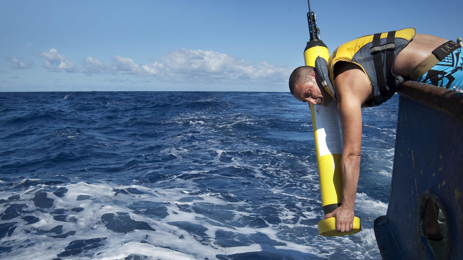
More than 70 percent of Earth's surface is covered by ocean, yet most of it remains unexplored. The international Argo Program, launched in 1999, has been narrowing that gap with roughly 4,000 autonomous floats that collect ocean data worldwide.
Most existing Argo floats descend between 2,000 and 4,000 meters, but about 10 percent of ocean warming happens below that range, leaving a major gap in data on the deep abyssal zone.
A deeper reach
France's state ocean agency, Ifremer, reported this year that its two Deep-6000 prototype floats completed five dives to 6,000 meters between January 11 and February 2. The achievement makes France the third country, after China and the United States, to build Argo floats capable of reaching such depths. The US currently runs more than 100 deep-sea floats, while China operates over 30.
Ifremer says 30 additional deep-sea floats will join the existing 4,000-float Argo fleet by 2028, extending coverage to more than 98 percent of the ocean.
Engineering for extreme pressure
Pressure increases by roughly one atmosphere for every 10 meters of depth, meaning conditions at 6,000 meters are about 600 times greater than at sea level. To withstand this, the Deep-6000 floats use composite hulls rather than pure titanium and weigh around twice as much as a standard Argo float, at about 88 pounds.
Each mission runs on a ten-day cycle: the float is released from a boat, drifts at depth for nine days, descends further for a roughly three-hour profiling phase, then rises to the surface to transmit its data via satellite. This repeats for about 150 cycles over three to five years, until the battery is depleted.
The floats record salinity, temperature, oxygen levels and pressure, helping researchers track ocean warming, deep circulation and climate signal storage, and refine forecasts for phenomena like monsoons and sea level rise. Argo data is freely available online, with more than 60 countries contributing to the program.