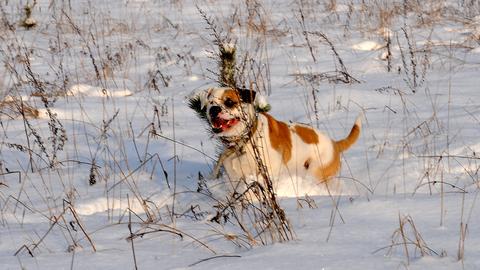
Thin layer of snow to form in parts of eastern Latvia on Sunday
According to forecasts from the Latvian Environment, Geology and Meteorology Centre, a thin layer of snow will form locally in eastern Latvia on Sunday. Precipitation is expected nationwide, and roads will be slippery in places.
A thin layer of snow will form locally in eastern Latvia on Sunday, 22 November, according to forecasts from the Latvian Environment, Geology and Meteorology Centre. Precipitation is expected across the country, and drivers should be prepared for slippery roads.
Sunday night
The night will be cloudy, with skies clearing only in places in the west. Rain and wet snow are expected nationwide, and in parts of the east also snow, which will locally leave a thin snow cover. Precipitation will be heavier in some parts of Kurzeme. Fog will form in places in the east, and roads will be slippery.
Winds will mostly be light to moderate, blowing from the west and southwest. On the coast they will strengthen to moderate to fairly strong westerly or northwesterly winds, with gusts of 15–17 metres per second. Temperatures will fall to between 0 and +4°C.
In Riga the sky will be overcast, with rain and at times wet snow. Southwesterly and westerly winds will gust up to 14 m/s, and the minimum temperature will be +2 to +3°C.
Daytime
Cloud will continue to cover the sky during the day, with occasional clearing in the west. Rain and wet snow are expected in many areas, and in parts of the east also snow, so a thin snow layer will locally persist. Roads will remain slippery, and fog will linger in places until late morning.
Winds will initially blow from the west and southwest, but on the coast, and from late morning also inland, they will turn to the north and northeast. Air temperatures will rise to between +1 and +6°C.
In Riga, clouds will at times bring rain and wet snow during the day. The wind will turn northerly and ease slightly, while temperatures will rise to +3 to +4°C.