UAV Navigation Unveils HES01 Module for Drone Landings on Ship Decks
Spain's UAV Navigation introduced the 95-gram HES01 module on November 12, which it says lets drones land on a moving ship deck with sub-centimeter precision. No shipboard trial data has been published.
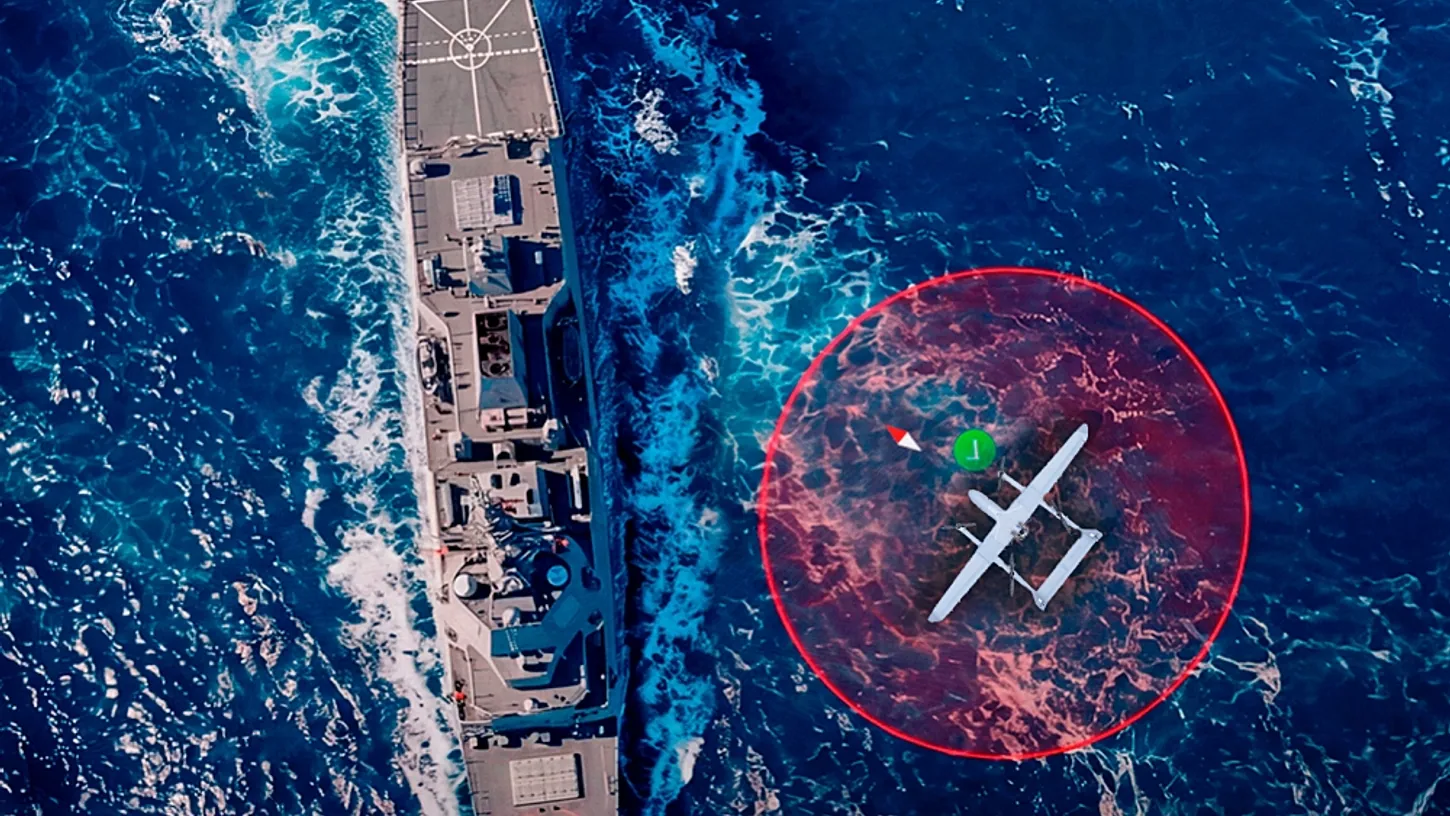
UAV Navigation, a Madrid-based drone avionics company owned by Spain's Grupo Oesía, launched its HES01 heading estimation system on November 12. The company says the 95-gram module allows a drone to land on the moving deck of a ship with sub-centimeter precision and provides a heading reference when satellite navigation is unavailable. This matters for navies, which need reliable drone recovery on a pitching deck.
How the system works
The landing relies on RTK (Real-Time Kinematic) corrections sent from the ship. A GHU-100 ground hub, wired to a second HES01 unit on deck, transmits them. The drone must run UAV Navigation's own VECTOR autopilot. Inertial sensors in the module compensate for the deck's pitch, roll and heave. At touchdown, both the drone and the ship need a clean satellite fix.
The product's specification table lists RTK accuracy of "up to 0.01 m," or one centimeter, at 50% reliability. It was measured over a 1-kilometer baseline with patch antennas, and the error grows by 1 millimeter for each additional kilometer between ship and drone. Heading accuracy is up to 0.4 degrees, with no alignment maneuver needed before takeoff.
The unit measures 106 x 43 x 24 mm, draws about 2 watts and needs two GNSS antennas at least 0.30 meters apart. It replaces the company's separate DGC01 GNSS compass and MG01 magnetometer. It also continuously checks the magnetometer against the GNSS-derived heading to catch interference from steel decks, power lines or payloads.
Jamming concerns
Escudo Digital, a Spanish security outlet, notes that GNSS signals in the Black Sea and Red Sea are frequently jammed or spoofed. It adds that a ship broadcasting corrections to its drone also reveals its own presence, and that every published HES01 figure comes from the company.
The company points to its VNS01 visual navigation system as the answer, describing the HES01 as a complement to it in contested environments. It is also working with the European Space Agency on navigation using low Earth orbit communication signals.